New
Miscellaneous
Curious facts about beauty, culture and worldview of people
Photo archive
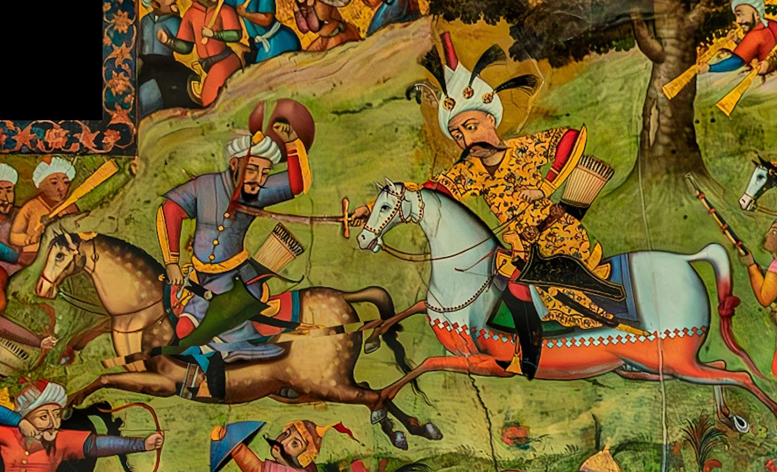
Myth
Historic Press Picks
Petroglyph
HOT
PERSPECTIVES
LECTURES
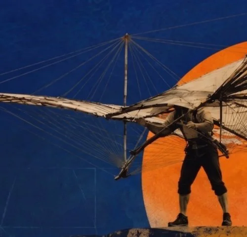
The Long Journey from Myth to Reality
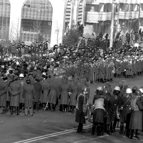
The Chronology of December 1986
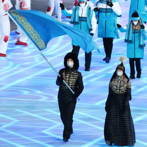
The History of Olympic Fashion